Over the past 15 years, there has been a massive expansion in the availability of mobile networks in developing countries. Many NGOs have adopted mobile phones as a primary form of communication. The costs associated with running mobile are very small compared with running a satellite telephones as mobile handsets and airtime are a fraction of the costs of using satellite. Due to the low price of GSM technology, more people in NGO teams are being issued with mobile phones by their organisations. This has really improved the efficiency of an operation as GSM has made it very easy to reach individuals in a team.
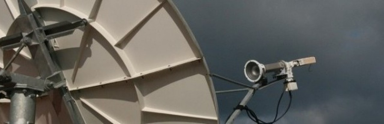
Before GSM really took off, radio and satellite communications were the only means to communicate. For those of you who go back further than the 1990’s the only option back then was radio. Satellite and radio still has a major role to play as many NGOs operate in the most challenging places in the world where security may be poor and infrastructure weak. This week, it was brought to my attention that one mobile network in South Sudan failed for a number of weeks. This meant that people operating in the area affected had to revert to radio and satellite. Most organisations will have safety and security policies in place which defines the need for back up communications. Across the globe many NGOS and UN organisations operate very large sat-phone fleets. Save the Children operates more than 600 satellite telephones. In this article, we will explore the “good” and the “not so good” about satellite communications.

The Good: An essential safety net
Satellite phones do not relay on local infrastructure which makes them a great back up for emergencies or as a means for routine communication in remote places where there are gaps in coverage. Very recently the higher end models from Thuraya, Iridium and Inmarsat have included a distress button so that help can be summoned in an emergency. Iridium has partnered with GEOS (https://www.geosalliance.net/geosalert/monitor_iridiumExtreme.aspx) where all active Iridium phones (Iridium Extreme and Iridium Go) can be registered for the basic monitoring service at no extra cost. Monitoring is activated by filling in an online form with details about two emergency contacts. Once set up, if the emergency button is pressed, the Iridium will send location details to the GEOS monitoring centre where duty staff will attempt to contact the people listed on its system.
For an additional fee, GEOS can be more proactive and instigate a call on behalf of the satellite phone owner to capable rescue authorities. In places where search and rescue is not provided by the government, GEOS have arrangements in place for calling in private airplanes and helicopters for search and rescue or medivac. Whilst the monthly subscription is very low, organisations should be prepared to be hit with a hefty bill should private SAR resources are mobilised. Emergency buttons on most sat phones have a cover which means that accidental alerts should not occur. If subscribing organisations do sign up to GEOS, end users should be thoroughly briefed.
Thuraya does not have an agreement with any external organisation, however its SOS button can be set up to call or send a message to any pre-defined contact. Inmarsat has Search and Rescue in its DNA. Inmarsat was founded initially as an NGO to provide direct voice communications and distress alerting capability for ships at sea which still exists to this very day. On land, Inmarsat’s new IsatPhone 2 includes a button where distress messages can be sent to pre-set numbers.
Whilst both Inmarsat and Thuraya do not have any formal agreement with a monitoring centre, there are organisations such as Sicuro of Dubai who can offer such services. Organisations can also make their own arrangements by setting up an emergency phone manned by a security officer 24/7 to receive calls for help.
Older sat phones will not have that emergency button, however an emergency contact number can be added to the speed dial list.

The Ugly: Satellite telephone SIM card frustration
Satellite phones are a great resource, especially in times of emergency. However managing a fleet of over 600 devices for an NGO such as Save the Children comes with it challenges. The majority of funding comes from institutional donors and quite rightly, NGOs are directed to go to the market on a regular basis to seek out the best deal. The satellite networks do not deal direct with subscribing organisations, instead specialists organisations such as Castell Satcom Radio exists to resell services on behalf of all networks. In the NGO community we are fortunate to be served by some great resellers, but in my opinion the market is completely broken as it is not easy to migrate between providers.
Over the years, I have launched a tender for satellite services on at least four occasions for NGOs. The tendering process is meant to get the best deal on the table for NGOs. Each time a tender is launched, various resellers will make a big effort to bid for business. The big challenge begins if an organisation receives a better deal and wants to switch to a new provider. For Save the Children, that means 600 SIM cards would need to be sent to hundreds of destinations. People need to physically swap each SIM card, from HQ level, trying to get everyone is more of a challenge than you might think. A recent exercise to swap 150 SIM cards was launched 7 months ago following the migration of Merlin into SCI. The task is still ongoing but will soon be complete.
I have migrated SIM cards on at least three occasions in the past, and it was painful on each occasion. In a few years time when we go out to the market again, the idea of having to change 600+ SIM cards does not fill me with joy.
In a bidding contest, we ask the market to compete which they do well. Across all of the bids, there is not a massive difference in pricing. The cost of the effort to swap 600 SIM cards will far outweigh the savings made due to the cost in time to change SIM cards. So the market is really broken and all of the networks need to step in and fix it. The current arrangement is neither good for the NGOs or the resellers. The NGOs cannot drive down costs in airtime by switching providers due to the effort required. The resellers have very little prospect of winning new business from the completion, so nobody is winning here. With each reseller being within a gnats breath of each other with airtime pricing, the only incentive I would have to move to a new provider is if I was receiving very bad service from my current provider. My advice for any organisation who might be setting up satellite communications for the very first time is to ensure you get the right provider from the start. This way, pain will be avoided in the future.
The other big frustration is that each time we change a SIM card, the phone number changes as well.
Whilst the technology is brilliant, the account management side of the operation needs to improve and it’s the big networks like Inmarsat, Iridium and Thuraya which needs to fix things. We need each network to simply set up a system where organisations can migrate from one provider to another without the need to swap SIM cards and change phone numbers. Lessons can be learnt from the cellular telecoms industry as in some countries there are systems in place for people to retain the same number if the move from one provider to the next. The system could be as simple as the old provider giving the client an authorisation code to migrate the SIM and phone number to the new provider. The activity stays on the same network so should be achievable. What I am not asking for is the ability to swap numbers between different networks as this is certainly not needed and technically unfeasible.
Conclusion
The satellite communications get full marks from me for recent service and technology innovation, but I am now calling on the networks to provide a reliable account migration system so that we can turn the world of portable satellite communications into a truly competitive market place.


