In this month’s article, I am covering two topics. First, GPS jamming which has become a significant challenge in some parts of the world to aid organisations and beyond. The impact can be significant on navigation systems and telecoms. Over the past few years, we have seen an uptick in jamming, so I want to make people aware of how this can impact aid operations and personal security.
The second topic is about personal solar lighting. I have seen many products over the years, but recently innovation from “Mpowerd” has caught my eye. Recently I conducted some tests on three light systems and was very impressed!
GNSS Jamming
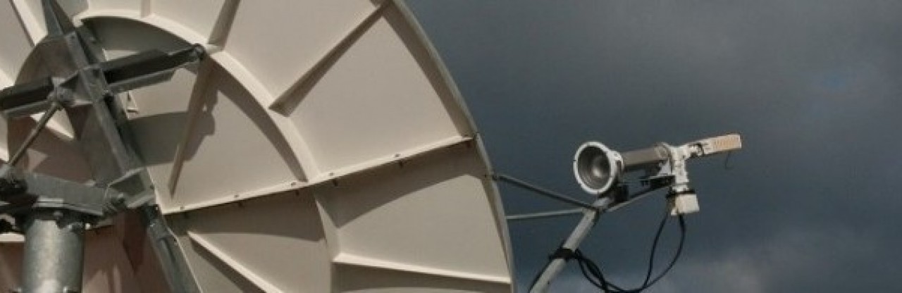
Firstly, like many technical topics, this subject is very rich in acronyms. GNSS stands for Global Navigations Satellite Systems which is the collective term for all satellite navigation systems. The first GNSS service was launched by the USA in the early 1990s and called the Global Positioning System or GPS. In addition to GPS, Russia has GLONASS, Europe has Galileo and China operates a system called Baidu. All these technologies operate in similar ways and subject to jamming.
GPS was the first GNSS technology and was funded by the Defence Department in the USA. GPS was a game changer for navigators as not did it provide precise positioning for weapon systems, but it became popular with the marine and aviation sector. Eventually as technology improved, GNSS technology became embedded into many personal devices to enable people to find their way around cities.

Why Jam GNSS?
It is assumed that miliary drones and missiles will use GNSS to find their way to a target. To help defend countries from incoming attack, GNSS signals are often jammed by transmitters designed to produce strong signals to disrupt the signals transmitted from GNSS satellites.
Recent media reports confirm that GNSS jamming is being used by Russia in cities near to the border with Ukraine as part of its military operations. Further north in the Baltic region, commercial airlines have reported GPS disruption which is presumed to be caused by Russia.
GNSS jamming is also taking place in the Eastern Mediterranean by Israel to disrupt incoming missiles.
How does GNSS jamming affect aid work?
Jamming may have a significant impact on commonly used technologies which rely on GNSS systems. In recent weeks, I have heard first hand reports from;
- Lebanon –Car “sat-nav” systems and mobile phones reporting wrong positions.
- Gaza – The Emergency Telecoms Cluster have reported significant jamming in the Gaza strip which has frustrated their ability to map services.
GNSS jamming will have a significant impact beyond frustrating everyone’s ability to navigate around places using google maps or similar. Jamming operations may have a serious impact on safety of aid workers and their ability to run humanitarian operations.
Tracking technologies such as the Garmin products are widely used for fleet management as well as personal tracking, especially in hostile environments. GNSS jamming can reduce the accuracy of tracking technologies or may prevent them working completely.
Satellite telephones such as Inmarsat, Thuraya and BGAN also rely on GPS. Before a call can be made, the internal GPS inside the handset will calculate the user’s position. If the GPS signal is jammed, the satellite telephone may not be usable until a position can be obtained. The only exception is the Iridium range of satellite phones (including PTT). Whilst some of the advanced Iridium handsets may have GPS built in, location information is not needed to make a call. Users should be aware that pressing the red distress button on a Iridium handset may transmit an incorrect location.
In any crisis context, the aid sector may use mapping systems (GIS) to map an area with information about where organisations are operating and what services are being offered to the affected community. In a war context like Gaza or Ukraine, bombing has significantly altered many neighbourhoods and previous streets are unrecognisable. Without functioning GPS systems, it is almost impossible to create new maps.
GPS is also an accurate timing source and used for some IT systems. Whilst not a normal feature in the aid world, GPS timing is used in banking and trading systems to synchronise trading systems. Whilst the risk is low, in theory GPS jamming in the right location could disrupt ATM machines and other banking services.
Jamming Information
If GNSS signals are being jammed, there is very little that can be done to restore accuracy of the technology. But if you are experiencing issues with technology that rely on GPS and other GNSS systems, GPSJAM GPS/GNSS Interference Map is a good resource to check if you think your navigation, tracking and telecoms tech is being affected. The data on the site is not real time and only shows average accuracy of GPS for the previous day and further back in time.
Data is sourced from the aviation industry where aircraft systems automatically report data in most parts of the world (See the FAQ section on the website for more detail). Note that information for Ukraine does not exist as there are no commercial flights over the country.
The following screenshot shows an example of jamming which is taking place in the eastern end of the Mediterranean sea.

Portable Solar Lighting
Over the past 20 years, I have tried out wide range of solar lights. Lanterns with built in solar panels are not new and there are many companies making these products. I have tested many. Some are great, but some are poorly made from cheap materials and break easily.

In a humanitarian context, solar lanterns are very useful in places where power is not available.
NGOs running education programmes will sometimes provide lanterns to students so they can continue study at home. Some of the larger lanterns can also be used to charge up smart phones.
I have covered this topic previously and felt that there would be nothing new to report. Its nice to be proven wrong!
Mpowerd have designed a range of lanterns that can be compressed flat. In the picture, the smaller green light (Luci outdoor 2.0) is fully compressed. The larger light (Luci Base) to the left has been inflated. This light has a larger battery and a port for charging a mobile phone.
At the back is the Luci Solar String which is suitable for lighting a larger area with its multiple LED light bulbs.
When compressed, the lanterns take up less space than competing products. I estimate that up to 6 Luci outdoor 2.0 units could fit into the same space as one of its main competitors.
Build quality is excellent and these products are likely to last much longer than some of the cheaper alternative brands I have tested in the past. Whilst the inflatable units can be inflated by mouth, I recommend using a pump to prevent the build up of condensation over time. Note: Due to the rugged design of the Luci range, the build up of condensation should not cause any damage.
Over a few evenings during the UK winter, the lights were tested in low and high-power mode. Lights were switched on at 7PM and lasted through the night in low power mode. In high mode, the lights stopped working at around 5AM. In low power mode, the lights lasted through the night.
In the picture below, the Luci Outdoor 2.0 presents (1) a harsh white light which is suitable for reading. The larger Luci Base (2) has a softer tone. The Luci String system base unit (3) provides power for the soft toned string lights (4)

For more information and pricing, please visit Mpowerd via the link below.
MPOWERD | Solar Inflatable Lanterns, String Lights and More – MPOWERD Inc.
Pingback: Using GPS trackers to keep people safe |