Before starting out in the ICT profession in 1999, I spent many years at sea on various ships, yachts and a submarine. The art of navigation was a major part of my work as I plotted a safe course from port to port. Many years later, in the NGO sector, I am still very much involved in navigation, but from a technology viewpoint. In past articles, I have covered various navigational topics which have explored GPS solutions. In this article I want to share with you a great concept which resolves a long standing issue of providing an easy to remember or to communicate addressing system. The solution is so simple and brilliant, when I learned about it this week, it just blew my socks off !!!!!!
Postcode Chaos
In the UK, we have a postcode system which can be used to locate places. The format use consists of 6 characters for much of the UK or if you live in London, its 7. The postal code for Save the Children Office is WC2H 7HH. If were to put this code into Google Maps, you would get a very accurate location of centre.

The UK post code system in the UK is very good for businesses as the code not only defines the actual building location, but also which floor the business is on. However for domestic residents, it’s a different story. Every time I send my postcode to a taxi firm, the driver uses my postcode to find my house using a satnav. This causes a problem as the UK postcode system sends the driver to the other end of the street. The driver sometimes gets lost and needs to call me to find my location.
Where postal or Zip codes do not exists
As imperfect the UK postal code system might be, it’s better than having no postcode at all. In Monrovia, Liberia, there are street names, but no postal codes or numbers. The address of the office which was used by one NGO was “Between 15th Street and 16th Street, Russell Avenue, Sinkor, Monrovia.
As there are a number of premises between 15th & 16th streets, this is an excuse for DHL to loose parcels!

How do we deal with remote places where there are no street names? How can we accurately locate individual families in a refugee camp? Latitude and Longitude is a long established method to locate things very accurately. In colonial times, Longitude was problematic as many nations centred “Zero Degrees” Longitude on their capital cities. This meant that if longitude provided in in the French format were to be plotted on a British map, the difference in formats would result in an error which would be more than 100KM.
These days we use a global format for Latitude and Longitude, but there are still issues. Latitude and longitude can be presented in a number of formats. With the emergence of internet technologies Latitude and Longitude is represented in a digital format. Traditionally position was expressed as Latitude followed by Longitude, but some technologies such as Google maps will express position in the opposite order e.g. -1.682017, 29.231105.
Whilst Lat/Long can be highly accurate, there is a great potential for error. Errors can also result when people try to communicate location in this format. Get one digit wrong in this format, and people will simply show up at the wrong place.
World class addressing system
Let’s be clear, the use of latitude and longitude is going to continue to be the primary means which technology will use for navigation, but it’s not user-friendly, What we need is a new global system where people can express to others any location on the planet in a very simple and easy to use way. In London, UK, a new start-up organization has found the answer. It’s called what3words. They have a very simple concept that every location on the planet can be expressed with just three words. It’s pure genius and as an old navigator, this idea simply floats my boat. In my line of work I see a lot of innovation, but this ideal is dynamite. The grid resolution of this addressing system is so fine that each unique address covers a box of 3 meters square. By using this system, not only does an office have an address, it is possible direct people to the correct entrance !
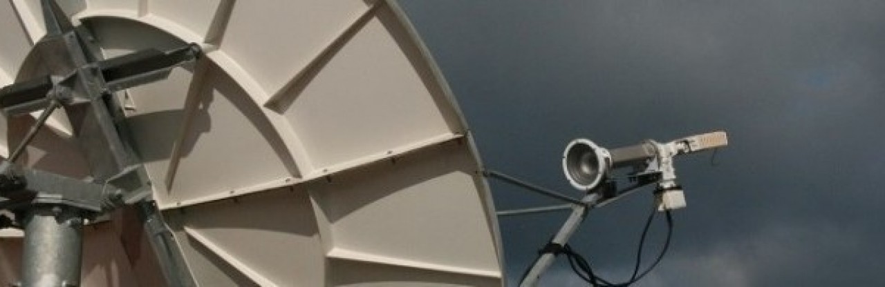
There is an interactive map at https://map.what3words.com. acoustics.opened.quail Is an address in the DRC for the Save the Children compound, in Goma. In fact this address is for the 3mx3m box where the VSAT is located in that compound. Go to the website and try in out for yourself.
what3words has a great potential for me to provide remote support. At my disposal I have access to websites which allows me to work out the best place to place a VSAT system. The remote survey allows me to communicate with staff on the ground where I would like the system to be set up. There is no ambiguity with what3words!

Beyond the uses I can find for this system, what3words gives us the ability to provide each family in an IDP or refugee camp with a unique address which is easy to remember and to communicate. The system is not limited to English, the team have developed the system so that it works in a multitude of languages. Organisations and solution providers are already adopting what3words. ESRI, a leading GIS provider as incorporated support for what3words into its products. I think this innovation has great potential and will start out like a snowball. Its new and its small, but give it time, a very short time and this concept is going to be huge.